Lake Misery Track
Arthur's Pass National Park
- 30 min one way
- Easy/medium
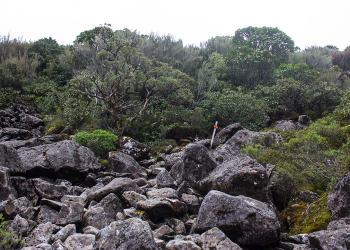
Short connecting track on the Main Divide of the Southern Alps.
|
Walking time
|
30 min |
|---|---|
|
Distance
|
1.2km |
|
Type
|
One way
|
|
Grade
|
Easy/medium
Exposed to alpine conditions, muddy, with some rock hopping. Grades explained
|
|
Bookings
|
No bookings — open access
No — open access
|
|
Starts
|
End of Dobson Nature Walk, Arthur's Pass summit. |
|---|---|
|
Ends
|
Otira Valley Walk, Arthur's Pass. |
|
Maps
|
NZTopo50-BV20
|
|
Altitude
|
891m
–
923m
Altitude change 32m
|
ID 16347
About this track
Added 27 March 2017 by matthewmatthew.
No revisions.
26 views in the past year (2 per month).