Jacks Pass Track
- 2 hr return by the same track
- Medium
A quick subalpine route onto Mount Isobel.
|
Walking time
|
2 hr |
|---|---|
|
Distance
|
6.2km |
|
Type
|
Return by the same track
|
|
Grade
|
Medium
Poled route, straightforward, with some loose scree. Grades explained
|
|
Bookings
|
No bookings — open access
No — open access
|
|
Starts
|
Jacks Pass, Clarence Valley Road, Hanmer Springs. This road is gravel, but suitable for regular vehicles during summer months. |
|---|---|
|
Maps
|
NZTopo50-BU24
|
|
Altitude
|
859m
–
1,319m
Altitude change 460m
|
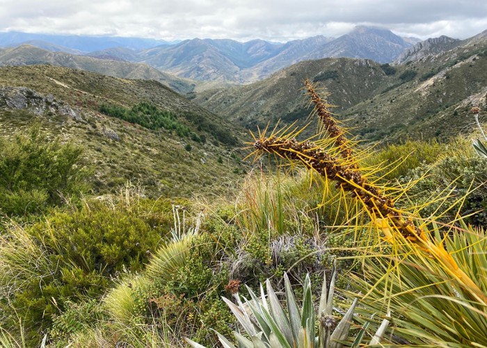
Mount Isobel (1319m) is the main peak overlooking Hanmer Springs, and approachable from several routes, including both Jacks and Jollies Pass, as well as Waterfall Stream and the main Mount Isobel Track. This route from Jacks Pass is the quickest option.
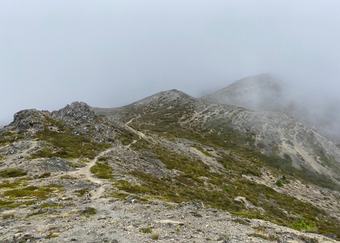
Drive up to the saddle of Jacks Pass and follow the signed Jacks Pass Track into a scrub of Celmisia daisies, mānuka, and mountain astelia. The track is a clay channel that climbs quickly onto a loose scree. Most of the hard work is done in 20 minutes, and the track eases along a spur.
It soon climbs again to point 1195 before dropping to a makred junction where the Mount Isobel Track ascends from the south. From here, a poled route meanders easily over herbfields and loose rock before a quick push to the summit and trig marker of Mount Isobel.